PercorsiEurope
Two Weeks on Iceland's Ring Road
Waterfalls, glacier lagoons and lava fields on a full self-drive loop.
Salva
Il percorso tratteggiato è schematico (archi approssimativi della rotta ortodromica tra le tappe), non un itinerario di trasporto.
Tappa per tappa
Clicca su una tappa (o sul suo segnaposto sulla mappa) per costi, informazioni sul paese e cosa fare lì.
1Reykjavik ISClimb Hallgrimskirkja and walk the old harbour.2 notti
Non abbiamo una scheda destinazione completa per Reykjavik o il suo paese ancora, quindi non ci sono dati su costi, clima o visti per questa tappa; le note sul percorso descrivono cosa comporta.
drive via Thingvellir · informazioni 1.5 ore
2Laugarvatn ISBase for Geysir and Gullfoss on the Golden Circle.1 notte
Non abbiamo una scheda destinazione completa per Laugarvatn o il suo paese ancora, quindi non ci sono dati su costi, clima o visti per questa tappa; le note sul percorso descrivono cosa comporta.
drive via Seljalandsfoss and Skogafoss · informazioni 3.0 ore
3Vik ISSee Reynisfjara beach and the Dyrholaey headland.2 notti
Non abbiamo una scheda destinazione completa per Vik o il suo paese ancora, quindi non ci sono dati su costi, clima o visti per questa tappa; le note sul percorso descrivono cosa comporta.
drive via Skaftafell and Jokulsarlon · informazioni 4.0 ore
4Hofn ISReturn to Jokulsarlon and Diamond Beach and take a guided glacier walk.2 notti
Non abbiamo una scheda destinazione completa per Hofn o il suo paese ancora, quindi non ci sono dati su costi, clima o visti per questa tappa; le note sul percorso descrivono cosa comporta.
drive through the East Fjords · informazioni 4.0 ore
5Seydisfjordur ISWalk the fjord-side village and its painted church street.1 notte
Non abbiamo una scheda destinazione completa per Seydisfjordur o il suo paese ancora, quindi non ci sono dati su costi, clima o visti per questa tappa; le note sul percorso descrivono cosa comporta.
drive via Egilsstadir · informazioni 2.5 ore
6Lake Myvatn ISSee the Skutustadir craters, Hverir vents and Dettifoss.2 notti
Non abbiamo una scheda destinazione completa per Lake Myvatn o il suo paese ancora, quindi non ci sono dati su costi, clima o visti per questa tappa; le note sul percorso descrivono cosa comporta.
drive via Godafoss · informazioni 1.5 ore
7Akureyri ISJoin a whale-watching trip on Eyjafjordur.1 notte
Non abbiamo una scheda destinazione completa per Akureyri o il suo paese ancora, quindi non ci sono dati su costi, clima o visti per questa tappa; le note sul percorso descrivono cosa comporta.
drive west · informazioni 5.0 ore
8Snaefellsnes (Grundarfjordur) ISPhotograph Kirkjufell and drive the peninsula loop around Snaefellsjokull.2 notti
Non abbiamo una scheda destinazione completa per Snaefellsnes (Grundarfjordur) o il suo paese ancora, quindi non ci sono dati su costi, clima o visti per questa tappa; le note sul percorso descrivono cosa comporta.
Reykjavik, the Golden Circle and the south coast
Reykjavik is small, walkable and the country's only real city, with the Hallgrimskirkja church and the Harpa concert hall as landmarks. The Golden Circle covers Thingvellir National Park, where the North American and Eurasian plates pull apart, the Geysir geothermal area and the Gullfoss waterfall. Along the south coast, Seljalandsfoss and Skogafoss are roadside stops on the way to Vik and the black-sand beach at Reynisfjara, where sneaker waves have caused fatalities and staying well back from the water is standard practice.
Glaciers and the East Fjords
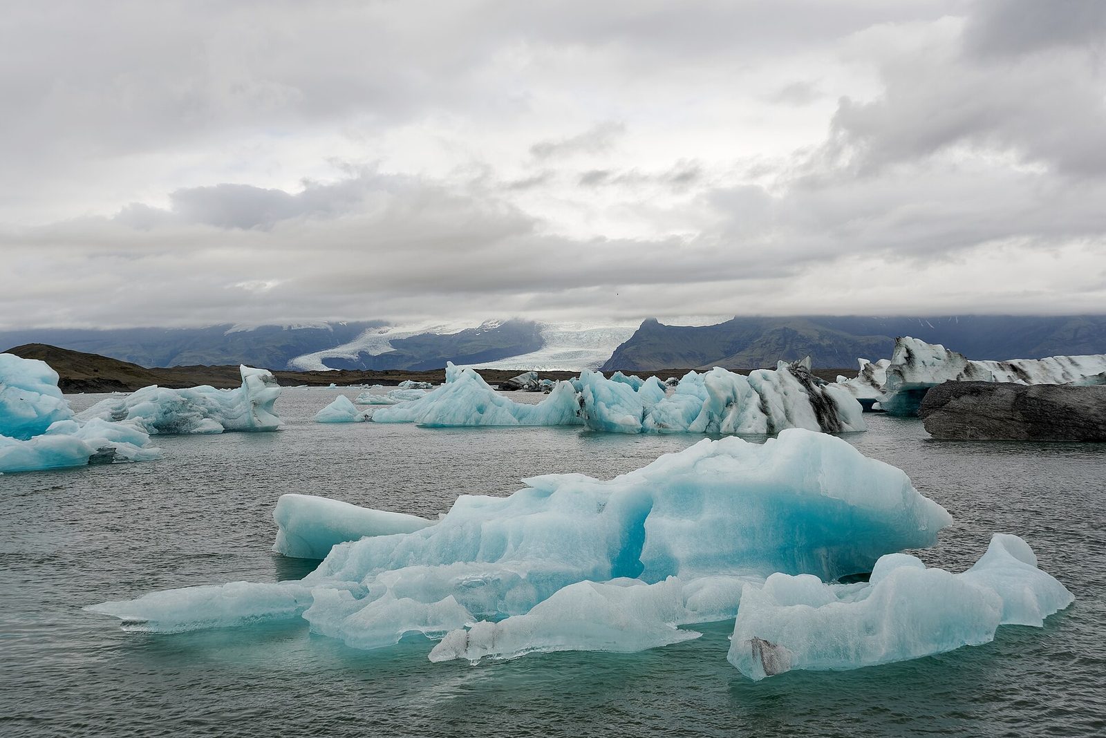
East of Vik the road crosses wide outwash plains below the Vatnajokull ice cap. Jokulsarlon glacier lagoon fills with icebergs that wash up on the neighbouring Diamond Beach, and Skaftafell has short hikes to glacier viewpoints. Guided glacier walks are the safe way onto the ice. The road then winds through the East Fjords, a sparsely populated stretch of fishing villages, with a detour over the mountain pass to Seydisfjordur.
The north and Snaefellsnes
Lake Myvatn is a volcanic landscape of pseudo-craters, lava formations and steaming vents, with the Dettifoss waterfall and the Myvatn Nature Baths nearby. Akureyri, the north's main town, is a base for whale-watching on Eyjafjordur. The final long drive heads west to the Snaefellsnes peninsula, known for Kirkjufell mountain and the Snaefellsjokull glacier, before a return drive of around three hours to Keflavik airport. Daily driving times are kept to about five hours or less, which leaves space for short hikes, hot springs and weather delays along the way.
Note pratiche
Visas: Iceland is in the Schengen Area (though not the EU); most Western passports currently enter without a visa for short stays, but the EU Entry/Exit System registers non-EU travellers at Schengen external borders, and the ETIAS pre-travel authorisation is scheduled to follow; check the official EU and national sources before travel. Transport: Route 1 is paved throughout and suitable for an ordinary car in summer; highland F-roads are closed for much of the year and need a 4x4. The national road authority and the SafeTravel service publish live road and weather warnings. Weather: June to August brings near round-the-clock daylight; September is quieter with a first chance of the northern lights. Weather changes fast in any season. Budget: the mid figure assumes a shared rental car split between two, guesthouse rooms, fuel, a guided glacier walk and a geothermal bath, with self-catering for most meals; Iceland is among the most expensive destinations in Europe. Safety: crime is very low; the main risks are weather, road conditions, beaches with dangerous waves and unguided glacier travel. Check current official travel advisories.