PercorsiSouth America
Four Weeks in Patagonia
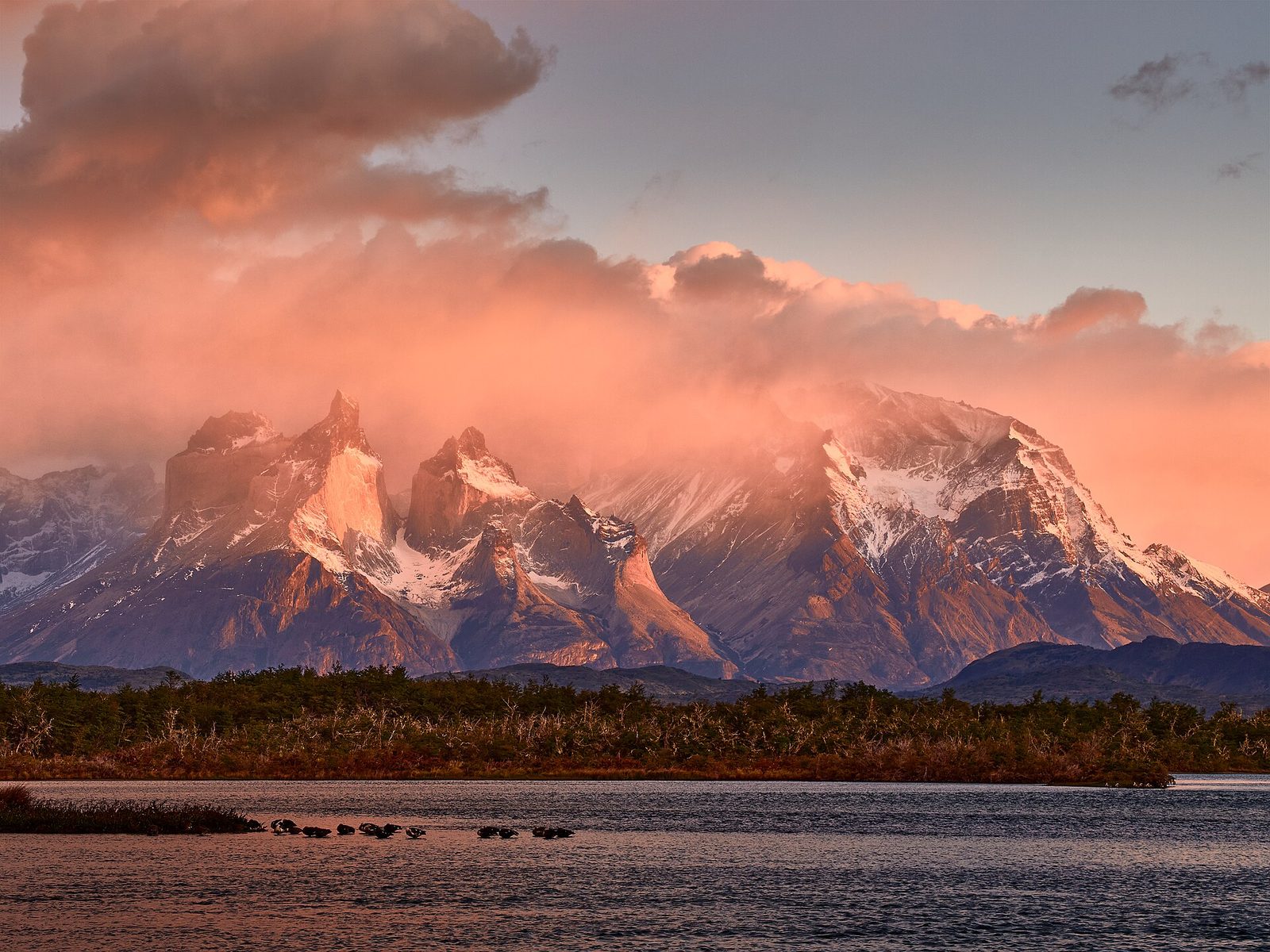
Granite towers, calving glaciers and lake country across Chile and Argentina.
Salva
Il percorso tratteggiato è schematico (archi approssimativi della rotta ortodromica tra le tappe), non un itinerario di trasporto.
Tappa per tappa
Clicca su una tappa (o sul suo segnaposto sulla mappa) per costi, informazioni sul paese e cosa fare lì.
1Santiago CLWalk Cerro San Cristobal, the Lastarria and Bellavista districts, and day-trip to Valparaiso.3 notti
Non abbiamo una scheda destinazione completa per Santiago o il suo paese ancora, quindi non ci sono dati su costi, clima o visti per questa tappa; le note sul percorso descrivono cosa comporta.
flight to Punta Arenas, then bus to Puerto Natales · informazioni 7.0 ore
2Puerto Natales CLBase for the W Trek in Torres del Paine National Park, with a spare day for weather.6 notti
Non abbiamo una scheda destinazione completa per Puerto Natales o il suo paese ancora, quindi non ci sono dati su costi, clima o visti per questa tappa; le note sul percorso descrivono cosa comporta.
bus across the border to El Calafate · informazioni 6.0 ore
3El Calafate ArgentinaVisit the Perito Moreno Glacier boardwalks and take a boat along the ice front.3 notti
Non abbiamo una scheda destinazione completa per El Calafate ancora, quindi non sono disponibili dati su costi o clima a livello di tappa; le informazioni di seguito si riferiscono al paese nel suo insieme.
Argentina: ancora, quindi non ci sono dati su costi o clima a livello di tappa; le informazioni riportate di seguito sono a livello nazionale.
- Valuta
- Argentine peso (ARS) · 1,547.00 ARS/USD (Financial Modeling Prep (indicative mid), Nov 05, 2026)
- Lingua
- Spanish (Rioplatense); English in Buenos Aires
- Prese elettriche e tensione
- C, I (220 V)
- Acqua del rubinetto
- Safe in Buenos Aires
- Emergenza
- 911 (Buenos Aires), 101 police, 107 ambulance
- Avviso USA
- Livello 1
bus to El Chalten · informazioni 3.0 ore
4El Chalten ArgentinaHike to Laguna de los Tres under Fitz Roy and to Laguna Torre.5 notti
Non abbiamo una scheda destinazione completa per El Chalten ancora, quindi non sono disponibili dati su costi o clima a livello di tappa; le informazioni di seguito si riferiscono al paese nel suo insieme.
Argentina: ancora, quindi non ci sono dati su costi o clima a livello di tappa; le informazioni riportate di seguito sono a livello nazionale.
- Valuta
- Argentine peso (ARS) · 1,547.00 ARS/USD (Financial Modeling Prep (indicative mid), Nov 05, 2026)
- Lingua
- Spanish (Rioplatense); English in Buenos Aires
- Prese elettriche e tensione
- C, I (220 V)
- Acqua del rubinetto
- Safe in Buenos Aires
- Emergenza
- 911 (Buenos Aires), 101 police, 107 ambulance
- Avviso USA
- Livello 1
bus back to El Calafate, then flight to Bariloche · informazioni 7.0 ore
5Bariloche ArgentinaRide the Circuito Chico, take the cable car up Cerro Otto or Campanario, and walk lakeside trails.5 notti
Non abbiamo una scheda destinazione completa per Bariloche ancora, quindi non sono disponibili dati su costi o clima a livello di tappa; le informazioni di seguito si riferiscono al paese nel suo insieme.
Argentina: ancora, quindi non ci sono dati su costi o clima a livello di tappa; le informazioni riportate di seguito sono a livello nazionale.
- Valuta
- Argentine peso (ARS) · 1,547.00 ARS/USD (Financial Modeling Prep (indicative mid), Nov 05, 2026)
- Lingua
- Spanish (Rioplatense); English in Buenos Aires
- Prese elettriche e tensione
- C, I (220 V)
- Acqua del rubinetto
- Safe in Buenos Aires
- Emergenza
- 911 (Buenos Aires), 101 police, 107 ambulance
- Avviso USA
- Livello 1
bus over the Cardenal Samore pass to Puerto Varas · informazioni 7.0 ore
6Puerto Varas CLLook across Lake Llanquihue to Osorno volcano and visit the Petrohue falls.3 notti
Non abbiamo una scheda destinazione completa per Puerto Varas o il suo paese ancora, quindi non ci sono dati su costi, clima o visti per questa tappa; le note sul percorso descrivono cosa comporta.
Into the far south
After a few days in Santiago, the route flies to Punta Arenas and continues by bus to Puerto Natales, the gateway town for Torres del Paine National Park. Most visitors walk the W Trek over four or five days, staying in refugios or campsites that are booked in advance through the park's concessionaires; day buses also reach the main viewpoints for those who prefer not to carry a pack. Wind is the constant companion here, and plans are usually built with a spare day for weather.
Glaciers and the Fitz Roy trails
A bus crosses the border into Argentina to El Calafate, the base for the Perito Moreno Glacier, where boardwalks face a calving ice wall and boat trips run along its front. Three hours north, El Chalten is a small trekking village where trails start at the edge of town: the walk to Laguna de los Tres beneath Fitz Roy and the route to Laguna Torre are both long day hikes with no permits needed. Accommodation here is limited and fills early in January and February.
Lakes, forests and volcanoes
The vast distance north is usually covered by a flight from El Calafate to Bariloche, a lakeside town in Nahuel Huapi National Park known for its viewpoints, cycling circuits and chocolate shops. The final leg crosses back into Chile over the Cardenal Samore pass to Puerto Varas on Lake Llanquihue, with the cone of Osorno volcano across the water and day trips to Petrohue falls. Flights from nearby Puerto Montt connect back to Santiago.
Note pratiche
Visas: Most Western passports enter Chile and Argentina visa-free for tourism, but rules change, so check the official source for your nationality before travel. Transport: Domestic flights Santiago to Punta Arenas and El Calafate to Bariloche; buses for everything else, including two land border crossings that can add an hour or more. Weather: November to March is the trekking season; strong wind and fast weather changes are normal at any time. Budget: Patagonia is one of the costlier parts of South America; the mid figure assumes private rooms or hostel doubles, refugio beds with some meals on the W Trek, park entry fees, a glacier boat trip and both flights. Safety: Crime is low in the trekking towns; the main risks are weather, river crossings and underestimating trail length, so park rules and ranger advice matter.