PercorsiOceania
Four Weeks in New Zealand
Geothermal north to the fiords of the south, by campervan or bus.
Salva
Il percorso tratteggiato è schematico (archi approssimativi della rotta ortodromica tra le tappe), non un itinerario di trasporto.
Tappa per tappa
Clicca su una tappa (o sul suo segnaposto sulla mappa) per costi, informazioni sul paese e cosa fare lì.
1Auckland NZMount Eden, the waterfront and a ferry to Waiheke Island.3 notti
Non abbiamo una scheda destinazione completa per Auckland o il suo paese ancora, quindi non ci sono dati su costi, clima o visti per questa tappa; le note sul percorso descrivono cosa comporta.
bus or campervan · informazioni 3.5 ore
2Rotorua NZWai-O-Tapu, Te Puia and an evening Maori cultural performance.2 notti
Non abbiamo una scheda destinazione completa per Rotorua o il suo paese ancora, quindi non ci sono dati su costi, clima o visti per questa tappa; le note sul percorso descrivono cosa comporta.
bus or campervan via Taupo · informazioni 3.5 ore
3National Park Village (Tongariro) NZThe Tongariro Alpine Crossing when the weather allows.2 notti
Non abbiamo una scheda destinazione completa per National Park Village (Tongariro) o il suo paese ancora, quindi non ci sono dati su costi, clima o visti per questa tappa; le note sul percorso descrivono cosa comporta.
bus or campervan · informazioni 5.0 ore
4Wellington NZTe Papa museum, the cable car and the waterfront.2 notti
Non abbiamo una scheda destinazione completa per Wellington o il suo paese ancora, quindi non ci sono dati su costi, clima o visti per questa tappa; le note sul percorso descrivono cosa comporta.
Cook Strait ferry to Picton and road via Nelson · informazioni 8.0 ore
5Marahau (Abel Tasman) NZWater taxis, sea kayaking and the Abel Tasman Coast Track.3 notti
Non abbiamo una scheda destinazione completa per Marahau (Abel Tasman) o il suo paese ancora, quindi non ci sono dati su costi, clima o visti per questa tappa; le note sul percorso descrivono cosa comporta.
road via Westport · informazioni 5.5 ore
6Punakaiki NZThe Pancake Rocks and blowholes.1 notte
Non abbiamo una scheda destinazione completa per Punakaiki o il suo paese ancora, quindi non ci sono dati su costi, clima o visti per questa tappa; le note sul percorso descrivono cosa comporta.
road down the West Coast · informazioni 3.5 ore
7Franz Josef NZGlacier valley walks and optional heli-hikes.2 notti
Non abbiamo una scheda destinazione completa per Franz Josef o il suo paese ancora, quindi non ci sono dati su costi, clima o visti per questa tappa; le note sul percorso descrivono cosa comporta.
road over the Haast Pass · informazioni 4.5 ore
8Wanaka NZRoys Peak, Rob Roy Glacier and the lakefront.3 notti
Non abbiamo una scheda destinazione completa per Wanaka o il suo paese ancora, quindi non ci sono dati su costi, clima o visti per questa tappa; le note sul percorso descrivono cosa comporta.
road over the Crown Range · informazioni 1.5 ore
9Queenstown NZSkyline gondola, jet boats, bungy and Gibbston wineries.3 notti
Non abbiamo una scheda destinazione completa per Queenstown o il suo paese ancora, quindi non ci sono dati su costi, clima o visti per questa tappa; le note sul percorso descrivono cosa comporta.
bus or campervan · informazioni 2.0 ore
10Te Anau NZBase for a Milford Sound cruise and the Kepler Track.2 notti
Non abbiamo una scheda destinazione completa per Te Anau o il suo paese ancora, quindi non ci sono dati su costi, clima o visti per questa tappa; le note sul percorso descrivono cosa comporta.
The North Island
Auckland, built across volcanic cones between two harbours, gives a few days for Mount Eden, the waterfront and a ferry to Waiheke Island. Rotorua, three hours south, smells of sulphur and sits among geothermal parks such as Wai-O-Tapu and Te Puia, with Maori cultural performances and hangi meals widely offered. The route continues to National Park village for the Tongariro Alpine Crossing, a full-day hike across volcanic terrain past the Emerald Lakes, which depends heavily on weather. Wellington, the compact capital, has Te Papa museum, a cable car and a strong cafe and craft-beer culture.
Across the strait and down the West Coast
The Interislander or Bluebridge ferry crosses Cook Strait and threads the Marlborough Sounds to Picton. From there the road leads past Nelson to Marahau, the gateway to Abel Tasman National Park, where water taxis and sea kayaks connect golden beaches along the coast track. Heading south, the West Coast road passes the Pancake Rocks at Punakaiki before reaching Franz Josef, where valley walks lead towards the glacier and helicopter flights land on the ice above it.
The Southern Lakes and Fiordland
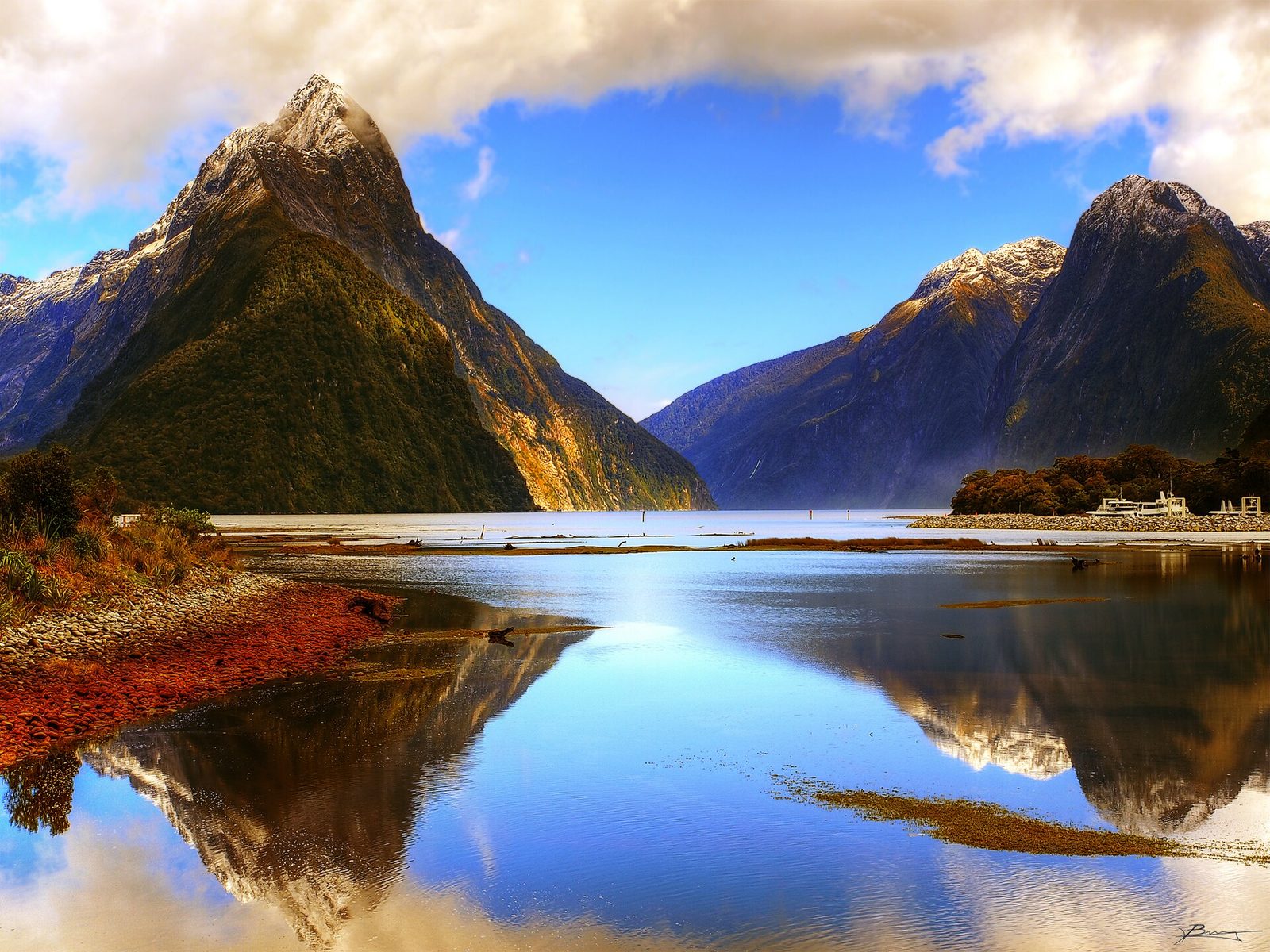
The road over the Haast Pass reaches Wanaka, a lakeside town with hikes such as Roys Peak and Rob Roy Glacier. Queenstown, an hour and a half away over the Crown Range, is the adventure-sports centre of the country, with bungy, jet boats and the Skyline gondola, and wine country around Gibbston. The final stop is Te Anau, the base for the drive or coach to Milford Sound, where cruises pass Mitre Peak and waterfalls that multiply after rain. Te Anau is also the starting point for multi-day Great Walks such as the Kepler and Milford tracks, which need advance booking.
Note pratiche
Visas: many Western passport holders need an NZeTA before travelling and pay a visitor levy with it, while Australians have separate arrangements; check the official Immigration New Zealand site. Transport: campervans give the most flexibility and access to campsites, while InterCity buses cover every stop on this route; the Cook Strait ferry takes about three and a half hours; book ferries, campervans and Great Walks huts early for summer. Weather: December to March is summer, with long days and the most reliable hiking conditions; the West Coast and Fiordland are wet in any season. Budget: New Zealand is one of the most expensive routes per day; the mid figure assumes a shared campervan or private hostel rooms and motels, a Milford Sound cruise, an Abel Tasman water taxi and kayak day, and self-catering most meals. Safety: crime levels are generally low; the main risks are mountain weather, river crossings and driving on the left on narrow, winding roads; check the official NZ Department of Conservation site for track and alpine conditions.