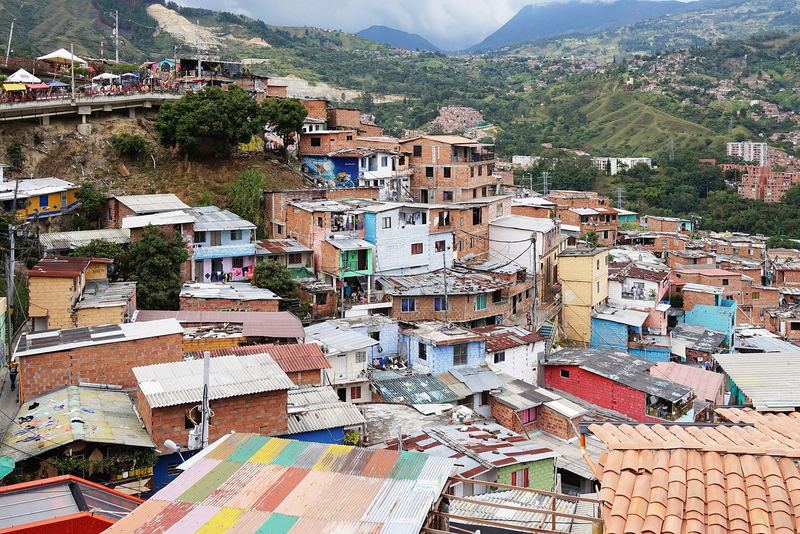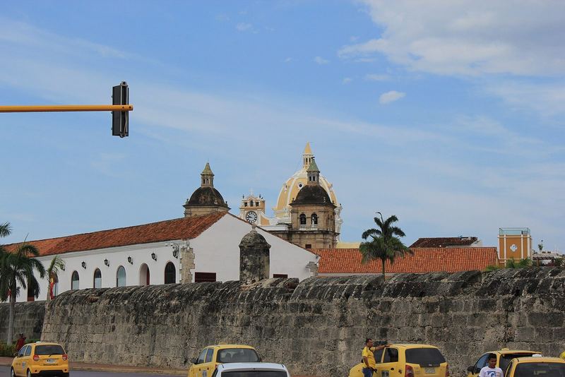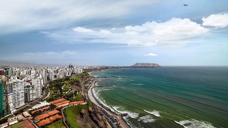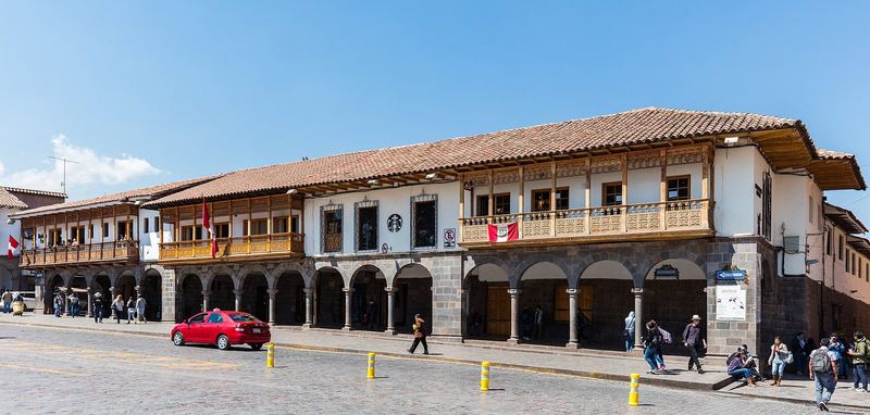
South America rewards the long way more than any other continent: the distances are vast, the buses are good, the altitude is real and the variety between Cartagena's walls and the Uyuni salt flats is the point. Our Three Months in South America route is the full itinerary with stops and budgets; this is the reasoning, and the places we would break the route for.
The order
North to south, so that the altitude rises gradually (Medellín at 1,500 m, Quito at 2,850 m, Cusco at 3,400 m, La Paz at 3,600 m, Uyuni at 3,700 m) and the Andean dry season (May to September) arrives as you reach the high country. Starting in Buenos Aires and going north meets the mountains cold and unacclimatised; starting in Colombia in March or April meets Peru in May.
The altitude logic
Medellín, Bogotá and Quito each add a step; by Cusco most travellers who came overland are acclimatised enough to trek within a few days. Flying from sea level straight to Cusco costs the first three days to headaches at best. Insurance that covers altitude and helicopter evacuation is essential, and the country pages for Peru and Bolivia explain the specifics.
The money
About $3,200 (dorms, buses), $6,500 (mid-range with the Salkantay trek, the Uyuni tour and the Colca Canyon) or $14,000 (comfortable) on the ground by our costing; Colombia, Peru and Bolivia are cheap at $38 to $45 a day backpacker tier, Chile and Argentina dearer and volatile. Flights inside the continent (four or five at $60 to $150) save days against 20-hour bus rides; the overnight cama buses in Peru and Argentina are comfortable enough to count as hotels.
Three detours worth the time
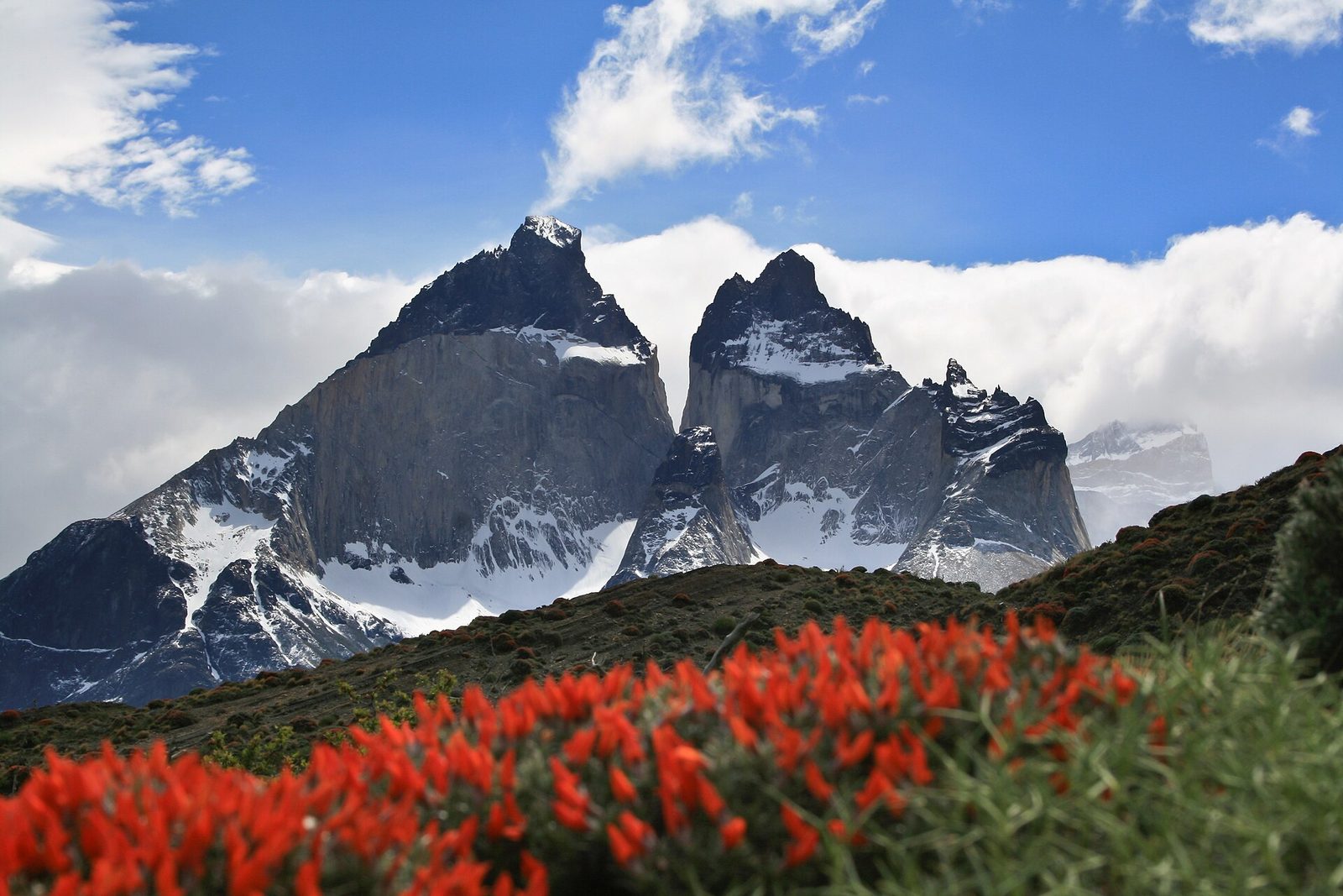
Tayrona and the Lost City from Santa Marta: four days through the Sierra Nevada to a pre-Columbian city, before the Andes. The Galápagos from Quito or Guayaquil: expensive ($2,000-plus for a week), singular, and more affordable land-based than by cruise. Patagonia: El Chaltén, El Calafate and Torres del Paine need two to three weeks and a flight south from Buenos Aires; most people split it off as its own trip in February.
Where the route earns its reputation
The Cordillera Blanca from Huaraz (Laguna 69, the Santa Cruz trek), Cusco's Sacred Valley and the trek to Machu Picchu, the Uyuni jeep tour's three days of salt, lagoons and flamingos ending in the Atacama, and Salta's red canyons. Buenos Aires at the end is the reward: steak, tango and a flat you can afford for a month.
Safety, briefly
Phone theft in Bogotá, Lima and Rio; unlicensed taxis in Lima; political blockades in Peru that can close the rail line to Machu Picchu; the VRAEM region of Peru and parts of Colombia's border zones under government warnings. The country pages carry the official advisory levels and the specifics; none of it should stop you.
Nur zur Information und Recherche, keine Finanz-, Rechts-, Einwanderungs- oder Medizinberatung. Angaben sind datiert. Vor dem Handeln anhand primärer Quellen prüfen. Teile dieser Website werden mit KI-gestützter Recherche zusammengestellt. Redaktionelle Richtlinien · Einen Fehler melden